Our new SERDP-funded project seeks to develop reduced-order frameworks to assess groundwater-related risks to coastal infrastructure from sea-level change.
Interested in applying to work on this project? Apply here.
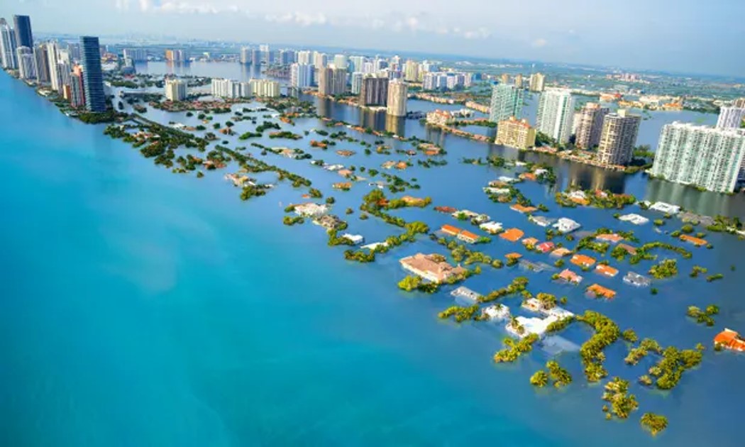
The DoD has more than 1800 installations globally that are located within a 20-kilometer buffer zone from the shoreline and have potential inundation impacts from rising sea level, groundwater recharge, and coastal storm surge over the next century. Future changes in sea level and recharge are expected to increase saltwater intrusion into coastal aquifers (horizontal migration) and change water table elevations (vertical migration). The magnitudes of these changes depend on regionally variable drivers and boundary conditions, as well as spatially differentiated landscape physical properties. Thus, tools for supporting management need to appropriately consider these factors. We seek to address the following specific questions:
Q1: How do climate and landscape geophysical factors interact to determine groundwater responses to future sea-level change?
Q2: What local factors will determine the magnitudes and relative importance of specific components of the groundwater responses?
Q3: Which DoD sites are most vulnerable to sea-level changes, and what is the overall hierarchy of site vulnerability?

